
~Walsden to Smithy Bridge~
1st March 2014
Blackstone Edge Reservoir
Scroll down for photos and a description of the walk....
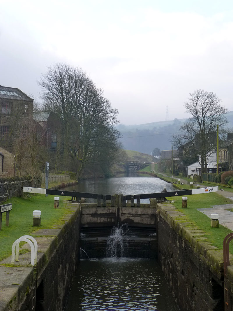
The Rochdale Canal
This walk started at 08:10hrs from the Vulcan Street car park in Walsden, West Yorkshire. An early start due to an afternoon commitment. Here, the Rochdale Canal sets the scene - cool and overcast with a moorland mist for those heading uphill.
 |
 |
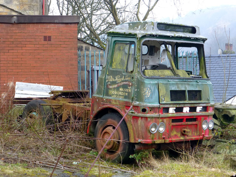
Peter Rigg - Transport Preservation |
Hollingworth |
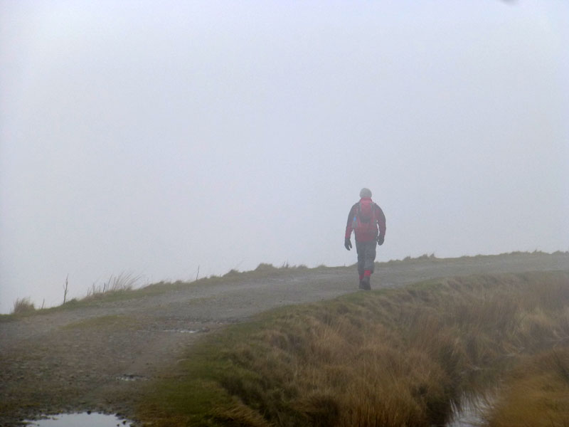
Mr.Rigg appears to have failed. My walk proceeded uphill between past North Hollingworth Farm and took a bearing for Higher Scout and Cat Stones. Please refer to OS21 - The South Pennines.
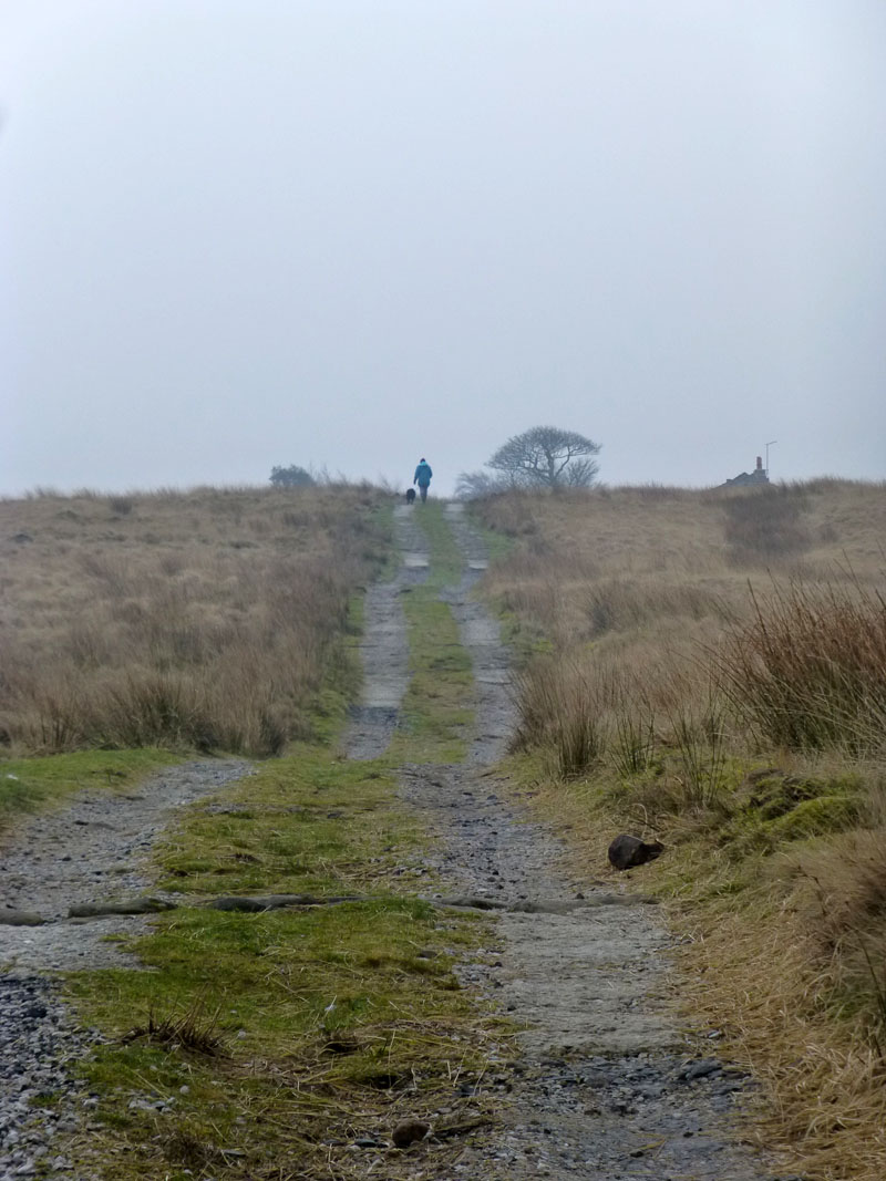
To Higher Scout
Uphill and into a colourless and bleak landscape.
~~~~~
 |
 |
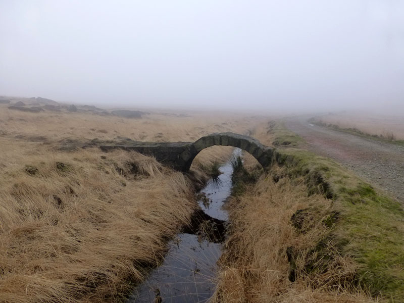
Warland Reservoir
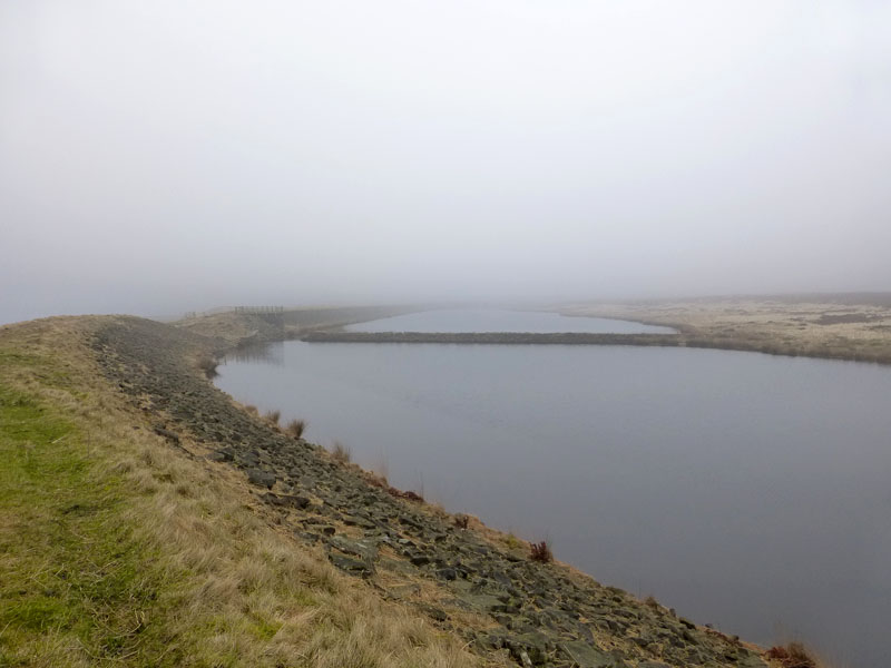
Light Hazzles Reservoir
Easy, level walking along the reservoir edges.
 |
 |
 |
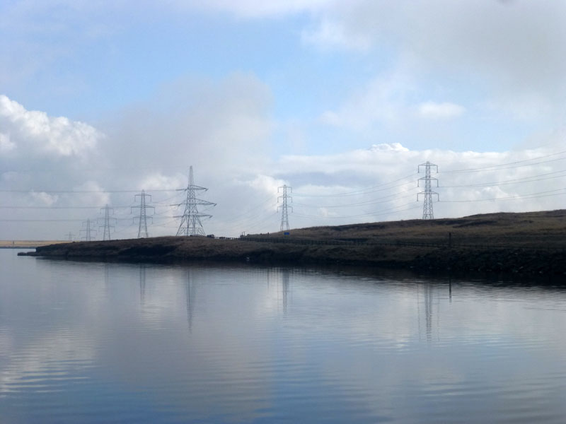
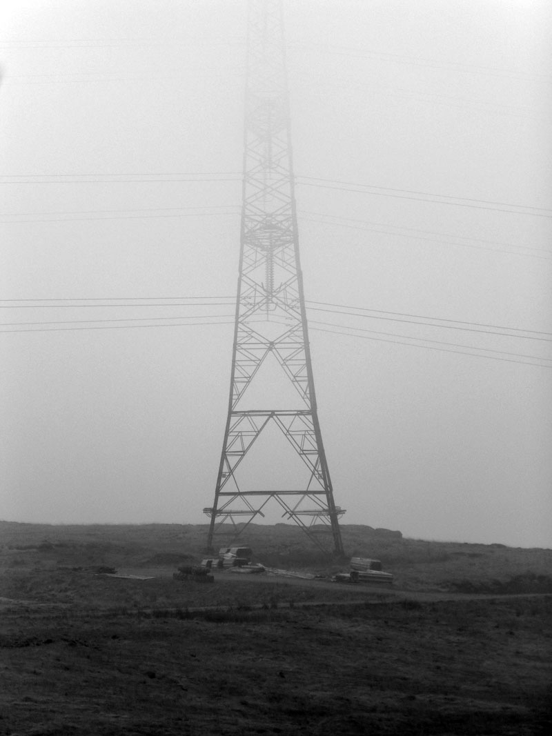
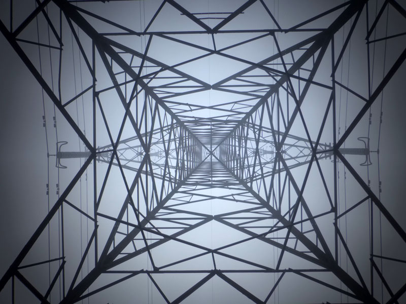
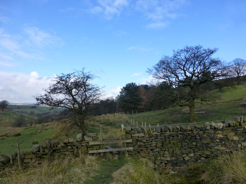
Grid Furniture
Pylons dominate the Pennine landscape on this part of the Todmorden Centenary Way, also part of The Pennine Way.
 |
 |
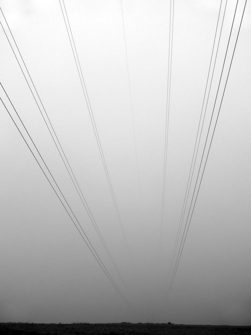
The Pennine Way
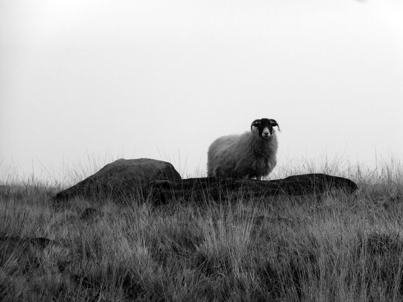
Ordinarily, I would describe the long distance views, but not just now.
~~~~
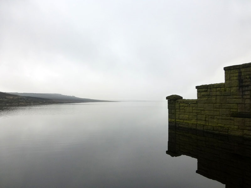
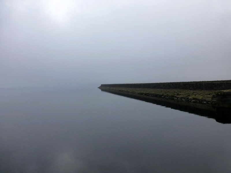
Blackstone Edge Reservoir
At 10:15hrs, the hill fog is beginning to disperse revealing hints of blue sky.
 |
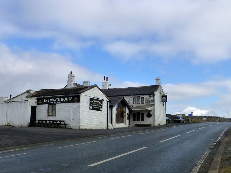 |
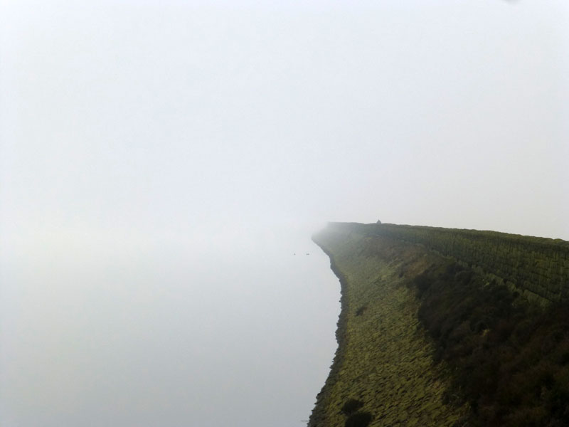
Blackstone Edge
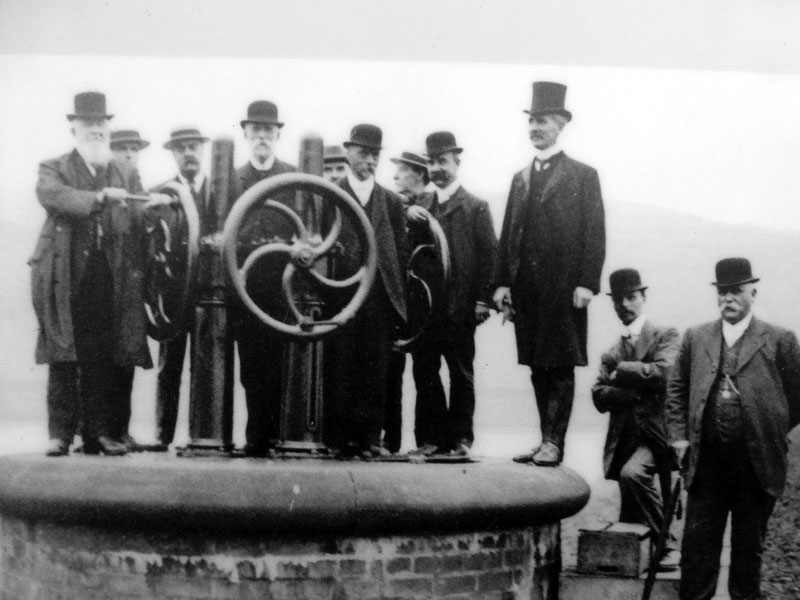
The White House pub dates from 1671. Dignitries preparing to open the valve of a newly commissioned reservoir - hard hats and hi-vis?
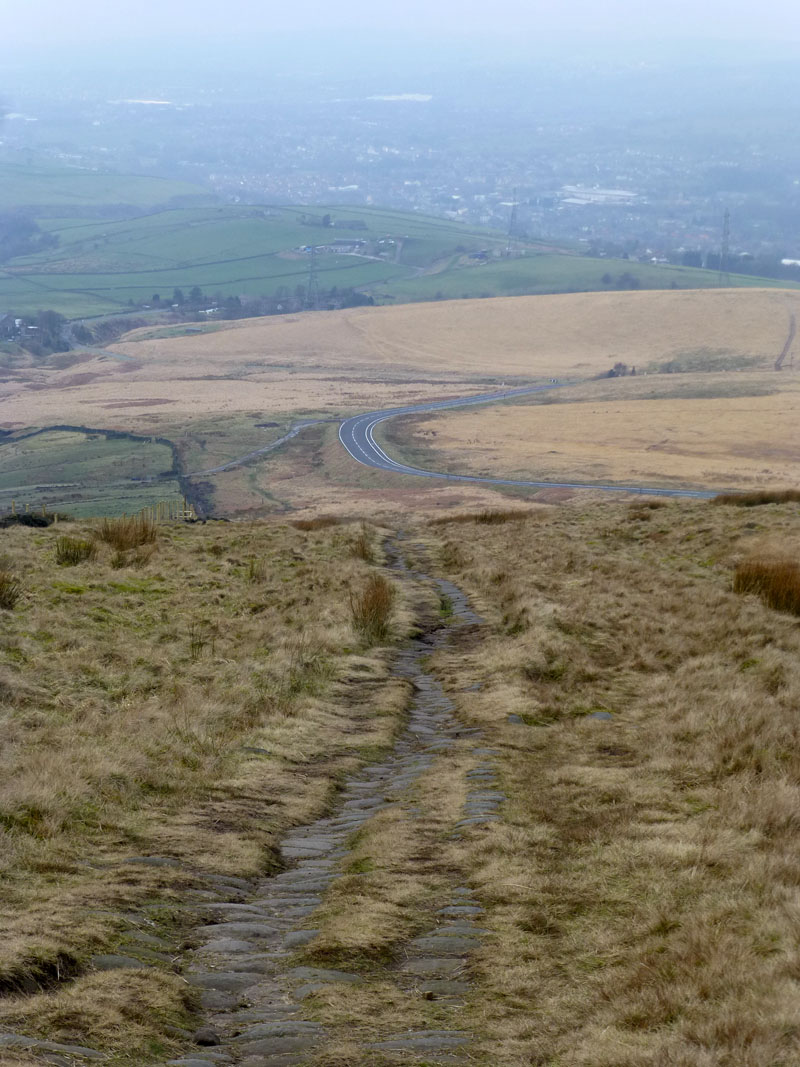
"Roman Road"
My walk crossed the A58 and contoured around Blackstone Edge Moor until it met an old packhorse road across the moors from Lancashire to Yorkshire - formerly a Roman Road. Then I turned west and downhill on the ancient sett stones.
 |
 |
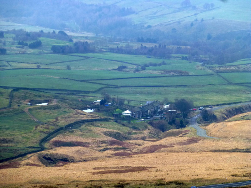
Lydgate |
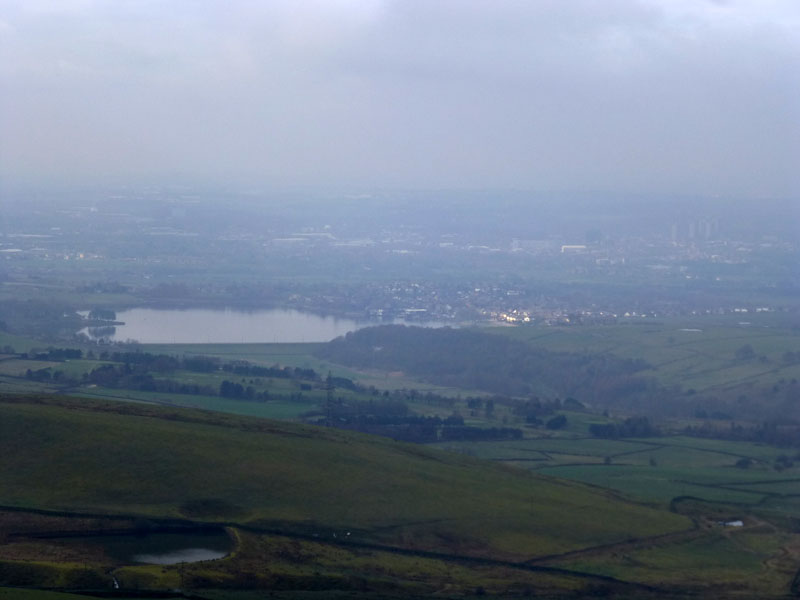
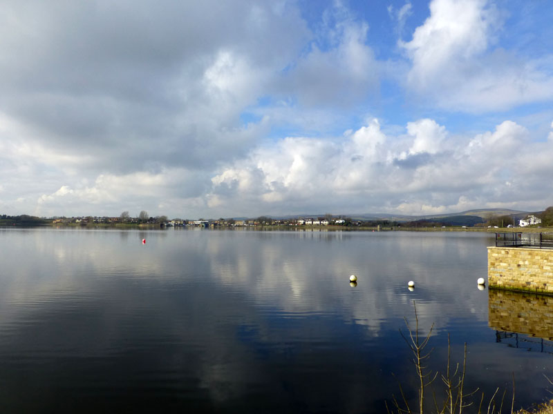
Hollingworth Lake |
Long distance views and Hollingworth Lake comes into view. The small hamlet of Lydgate is my next target.
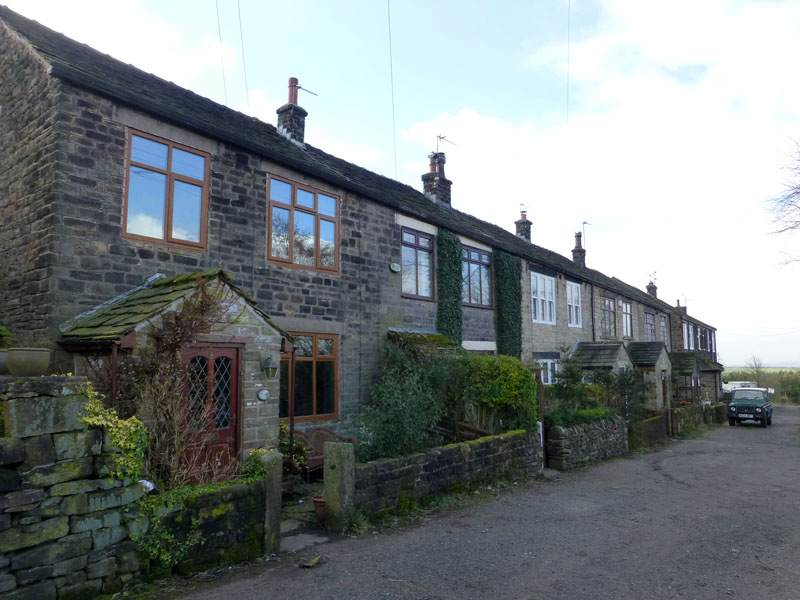
Lydgate on Blackstone Edge Road
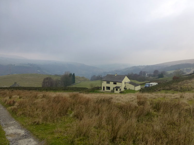
Whittaker Lane leads to the south and then west to Whittaker Fold, a remote hamlet in the middle of nowhere.
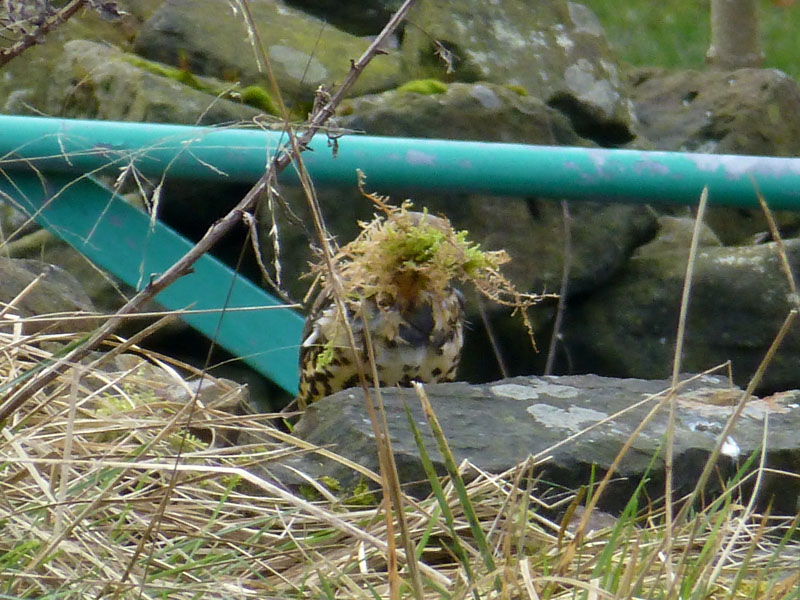
Whittaker Fold
A Mistle Thrush (maybe) was very busy building a nest. Great to watch several trips to the troughing and other mossy places.
 |
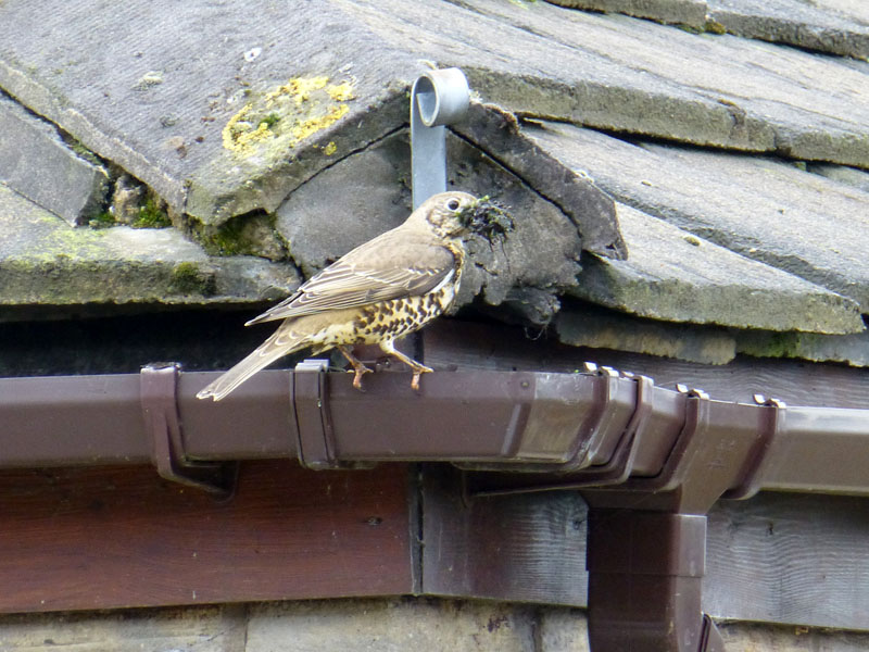 |
Nest Building
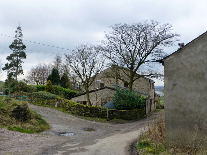
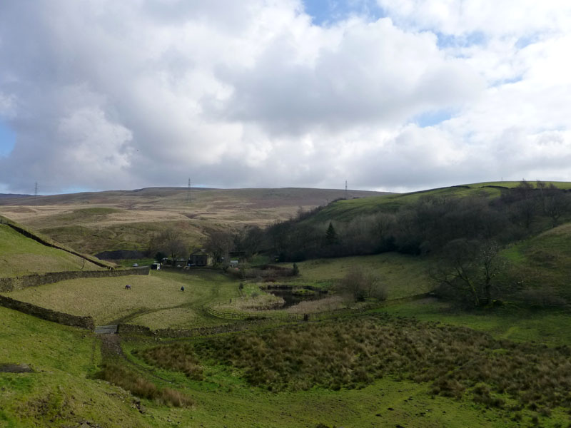
There is a golf course at Whittaker and a few houses for the well-to-do - you know, bankers and stuff. A footpath leads down into Whittaker Wood and here is the view back to the woods, as I leave and head for Syke.
Whittaker Wood
These "new" places are a treat for the soul, a visit brings the contents of the map to life.
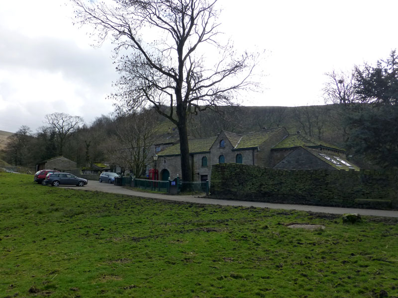
Syke Farm
Stables and stuff. The phone box is, I believe, ornamental.
Benny Hill
is the name of the rise on the right, Syke Farm is down there in the trees.
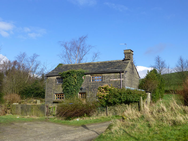
The Warden's Cottage
Very close to Hollingworth Lake is the Warden's Cottage.
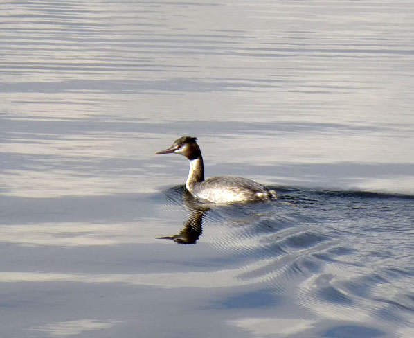
Grebe
~~~~~
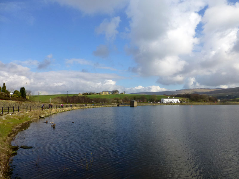
Hollingworth Lake
The walk didn't quite end here; I bought pie and chips (couldn't afford the fish) and walked down to Smithy Bridge Railway Station, crossing The Rochdale Canal on the way.
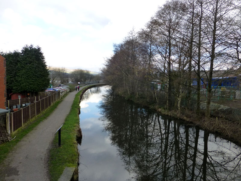
The Rochdale Canal
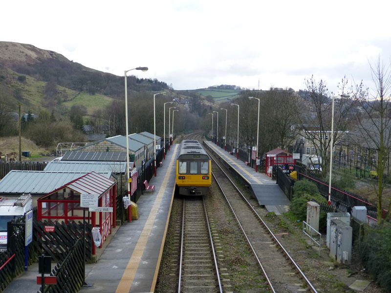
Walsden Railway Station
Maybe, if I hadn't a ticket for the Burnley v. Derby match at Turf Moor in the afternoon, I could have walked back along the canal towpath and saved £3.90.
Walkers: Just Me.
Time taken: 4hrs 20mins over a distance of about 10 miles.
Route: Walsden Railway Station, Hollingworth Farms, Higher Scout, Warland Reservoir, Light Hazzles Reservoir, Blackstone Edge Reservoir, across the A58, old Packhorse Route to Lydgate, Whittaker Fold, Syke Farm, Hollingworth Lake, Smithy Bridge Railway Station.
Weather: Misty on the moors, brightening to warm with sunny intervals.
All photos copyright Richard Ratcliffe 2014 ©
Take me back to the start ....